The Journal · November 01, 2026
The Laugavegur — Iceland's Highland Crossing
Across a landscape shaped by fire and ice, the Laugavegur is more than a long-distance walk. It is a journey through the geological forces that continue to shape Iceland.
Icelandic Highlands · 7 min read
There are few places where the landscape changes so dramatically over such a short distance.
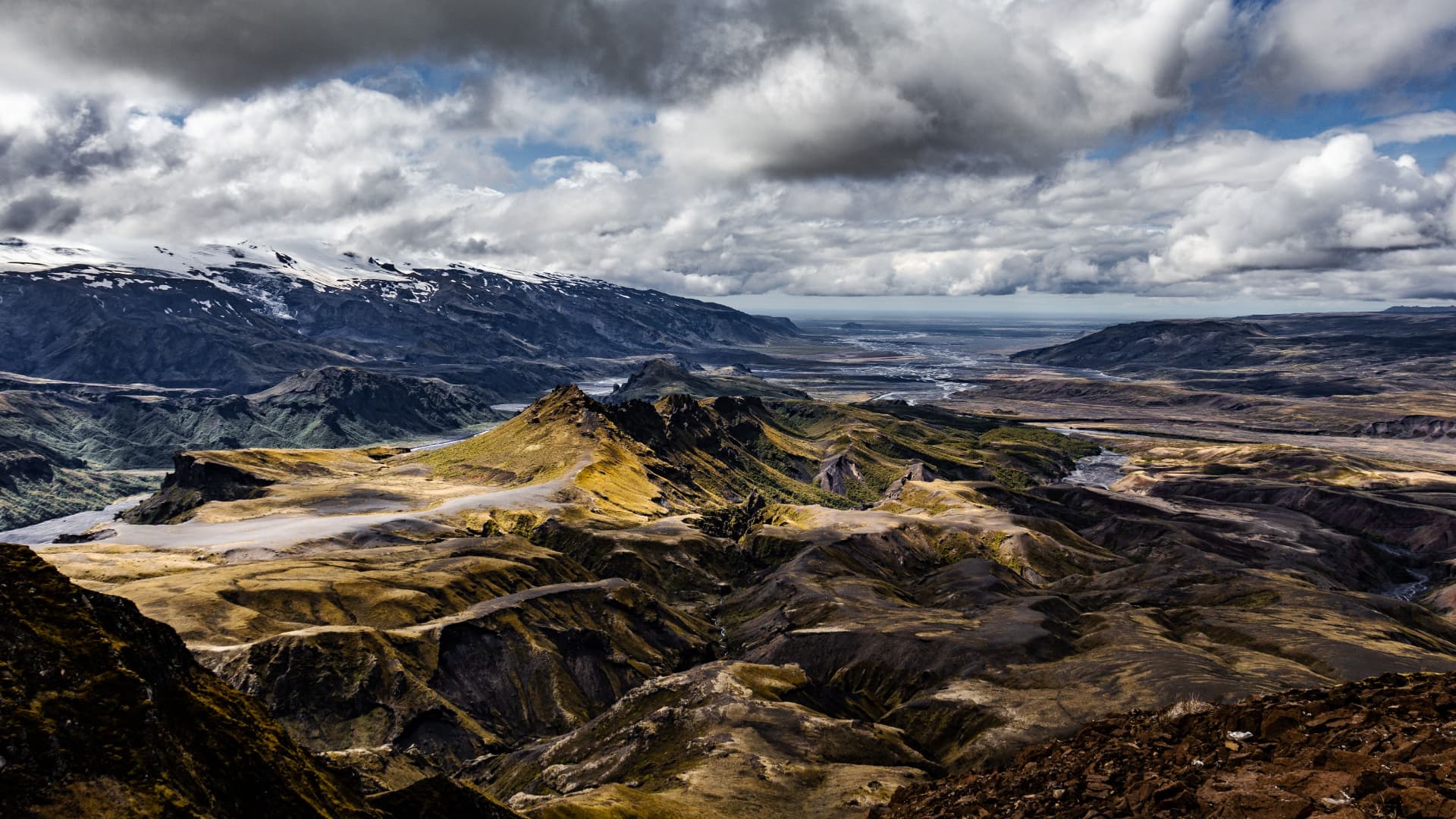
In the Icelandic Highlands, mountains appear in shades of rust, ochre and green. Steam rises from the earth, black volcanic deserts stretch towards distant glaciers, and rivers cut through valleys beneath vast open skies. It is a landscape that feels almost unfinished — as though the forces that created it have never quite settled.
Crossing this terrain on foot is one of Iceland's most memorable journeys.
The Laugavegur, stretching approximately 55 kilometres between Landmannalaugar and Þórsmörk, is Iceland's best-known multi-day hiking route. Usually completed over four days, it passes through an extraordinary variety of geological environments, from colourful rhyolite mountains and obsidian lava fields to glacial rivers and the sheltered birch woodlands of the south.
But the appeal of the Laugavegur is not simply the scenery. It is the experience of travelling slowly through a remote landscape, watching the environment change with every kilometre.
A landscape built by fire and ice
The journey begins at Landmannalaugar, a geothermal region within the Fjallabak Nature Reserve.
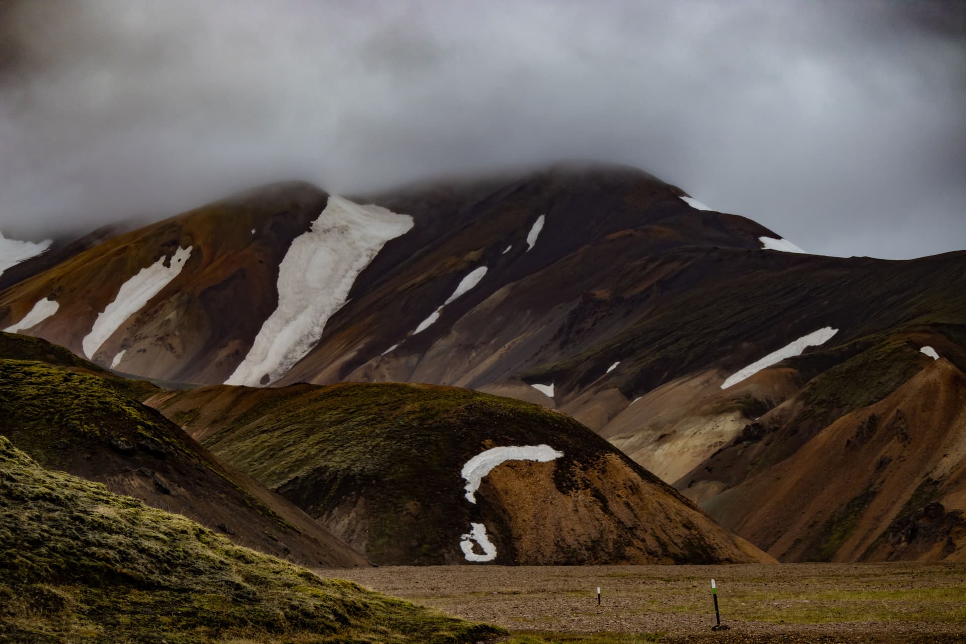
Here, the mountains are dominated by rhyolite, a silica-rich volcanic rock that can produce an extraordinary range of colours. Iron compounds and other minerals contribute to the reds, yellows, greens and browns that streak the surrounding slopes.
One of the most recognisable peaks is Brennisteinsalda, often called the Sulphur Wave. Its vividly coloured slopes are marked by geothermal activity, with steaming vents and mineral deposits revealing the heat still moving beneath the surface.
Nearby, the Laugahraun lava field provides a striking contrast. Formed by volcanic activity, its dark, fractured surface is scattered with obsidian — naturally occurring volcanic glass created when silica-rich lava cools rapidly.
It is a reminder that Iceland's landscape is not simply a relic of ancient geological events. Volcanism, geothermal activity and the movement of glaciers continue to shape the island.
As the route climbs away from Landmannalaugar, the colourful mountains gradually give way to a colder, more exposed environment.
Into the Highlands
The first section climbs towards Hrafntinnusker, the highest overnight point on the traditional route.
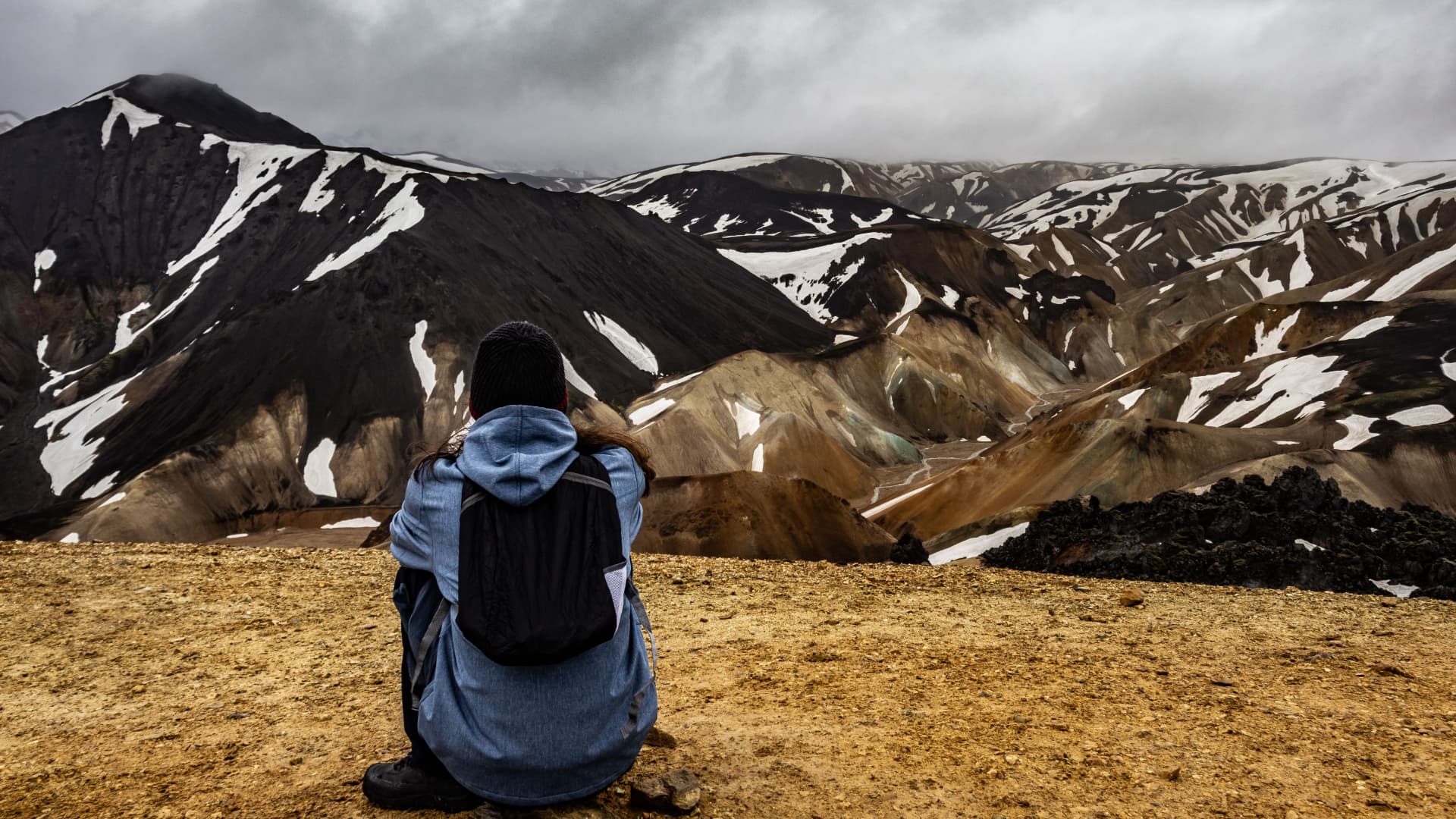
The landscape becomes increasingly barren. Vegetation is sparse, snow can remain in sheltered areas well into summer, and visibility can change dramatically as clouds move across the mountains.
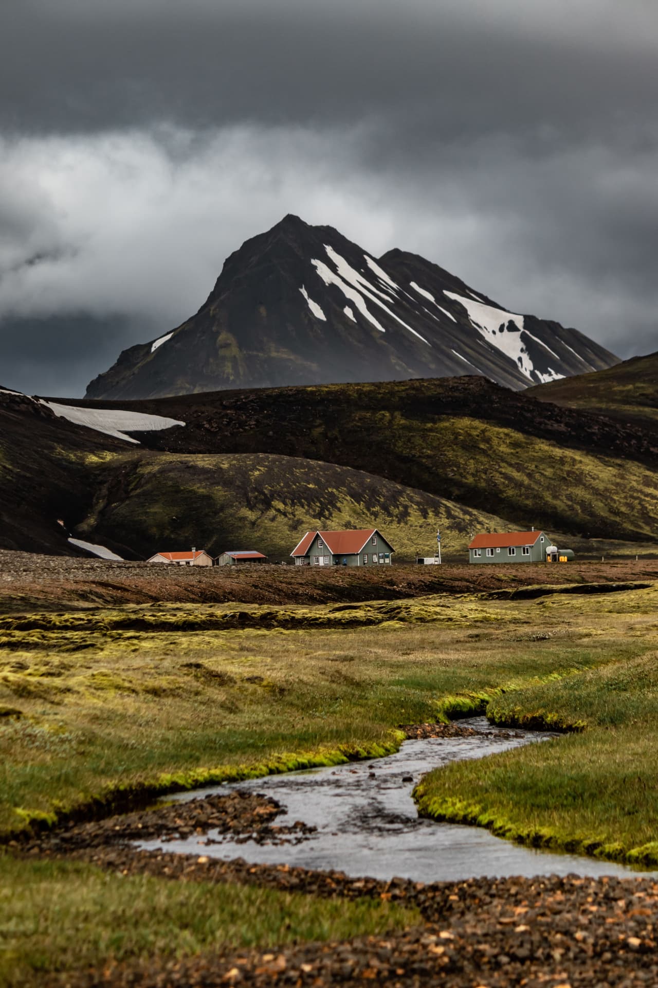
From here, the trail descends towards Álftavatn, where the scenery opens into a broad valley surrounded by mountains and distant glaciers.
This transition is one of the defining characteristics of the Laugavegur. Within a relatively short distance, the environment changes from geothermal highlands to open mountain valleys and glacial landscapes.
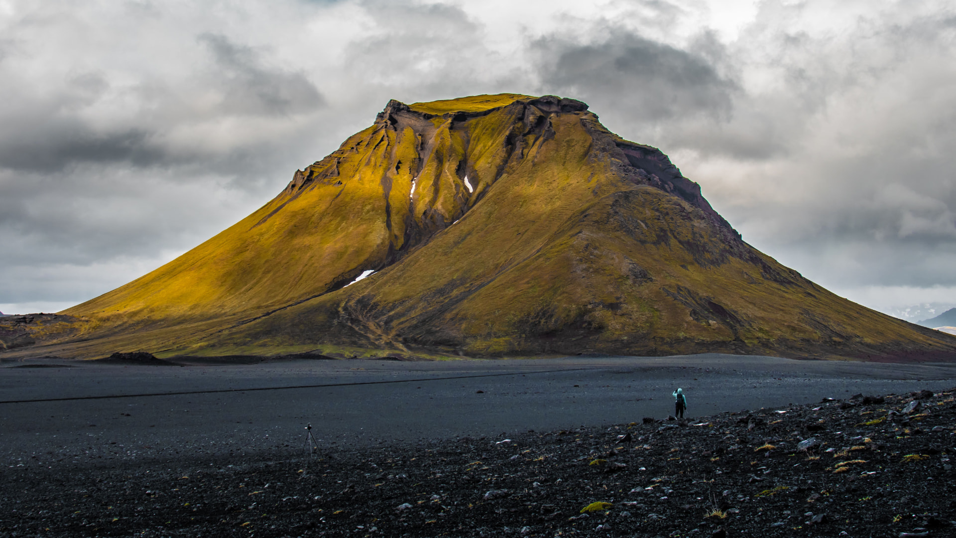
The following section crosses the black sands of Mælifellssandur, a stark volcanic desert beneath the ice caps of Mýrdalsjökull and Eyjafjallajökull.
The contrast is striking: dark volcanic sediments beneath enormous bodies of ice, with occasional green patches of vegetation breaking through the otherwise barren terrain.
Eventually, the landscape begins to soften as the route approaches Emstrur and the valleys leading towards Þórsmörk.
The journey south
The final section descends towards Þórsmörk, a sheltered valley surrounded by glaciers and rugged mountain ridges.
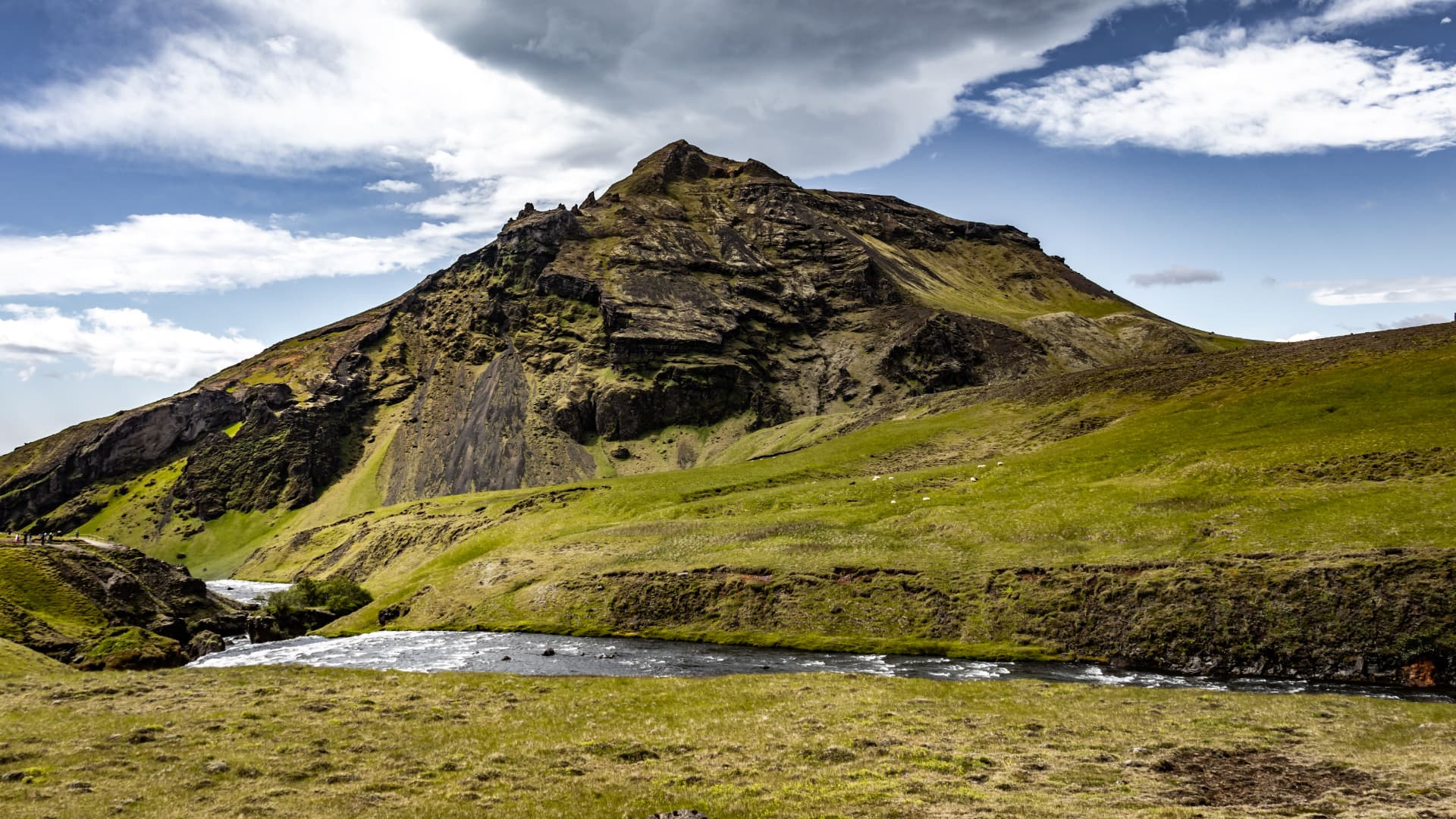
Here, the environment changes once again. Birch woodland, moss-covered slopes and greener vegetation replace the exposed volcanic plains of the central Highlands.
Þórsmörk takes its name from Þór, the Norse god of thunder. Protected by surrounding mountains and glaciers, the valley offers a striking contrast to the open terrain crossed during the preceding days.
For many hikers, reaching the woodland marks the end of the Laugavegur. Others continue over Fimmvörðuháls towards Skógar, extending the journey into another remarkable section of Iceland's southern landscape.
Crossing the Laugavegur
Although the route is approximately 55 kilometres long, its difficulty is not defined by distance alone.
Most hikers complete it over four days, with overnight stops at mountain huts or designated campsites.
The traditional stages are:
Landmannalaugar to Hrafntinnusker
Approximately 12 km, climbing into the exposed geothermal highlands.
Hrafntinnusker to Álftavatn
Approximately 12 km, descending towards the mountain lakes and first significant river crossings.
Álftavatn to Emstrur
Approximately 16–17 km, crossing open black-sand terrain and glacial river systems.
Emstrur to Þórsmörk
Approximately 15 km, descending towards the greener landscapes of the southern Highlands.
The trail is generally walked during the Icelandic summer, usually from late June to early September, although access depends on weather, snow conditions and the opening of highland roads.
Mountain huts provide basic overnight accommodation, while designated campsites offer an alternative for those carrying tents. Both should be arranged well in advance during the busy summer season.
The route is well established, but it should not be mistaken for an ordinary walking trail.
Weather in the Highlands can change rapidly. Fog can reduce visibility, strong winds can make exposed sections difficult, and snow may remain at higher elevations. Several glacial rivers also require hikers to wade across rather than use bridges.
These crossings deserve particular attention. Water levels can change with rainfall and glacial melt, and conditions that appear manageable at one time of day may become more difficult later.
Good preparation, suitable equipment and the willingness to change plans when conditions demand it are essential.
A different kind of wilderness
The Laugavegur is not an expedition into complete isolation. It is one of Iceland's most popular hiking routes, and during summer there will be other walkers sharing the trail.
Yet the scale of the landscape can make human presence feel insignificant.
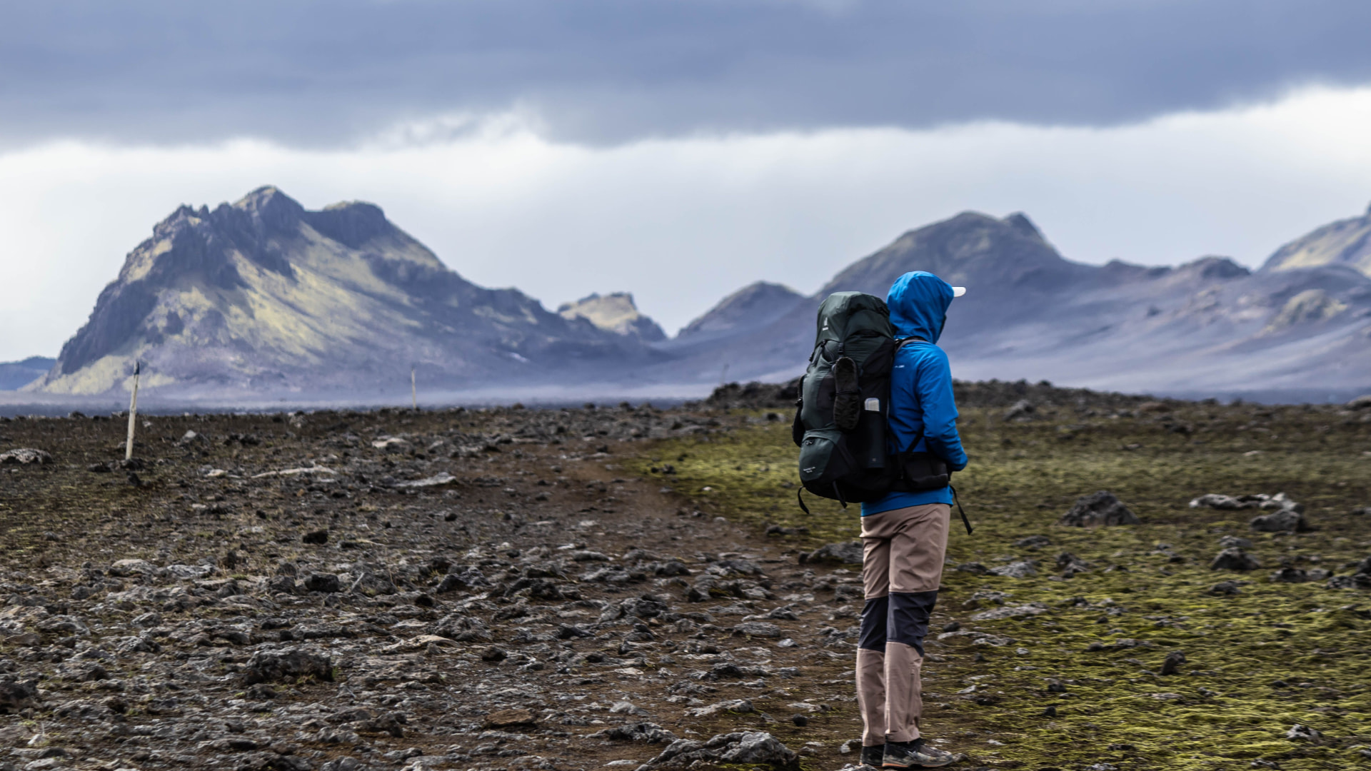
There are long stretches where the only sounds are wind, flowing water and the movement of your own footsteps. The terrain offers few familiar reference points, and the distances between settlements create a sense of separation from everyday life.
Perhaps this is what makes the journey so memorable.
The Laugavegur brings together several of Iceland's defining natural features within a single crossing: volcanic geology, geothermal activity, glacial environments, dramatic weather and the fragile vegetation that manages to survive in the Highlands.
It is an opportunity to experience these environments not from a roadside viewpoint, but from within the landscape itself.
And that is ultimately what makes the Laugavegur special. It is not simply a route between two places. It is a passage through a remarkable part of the natural world.
Walk the route with All Latitude
Laugavegur — Iceland's Highland Crossing
Explore the four-day guided crossing and enquire about joining. Departures depend on seasonal access and conditions.
View expedition & enquire— Read next
More from the journal
place · weather
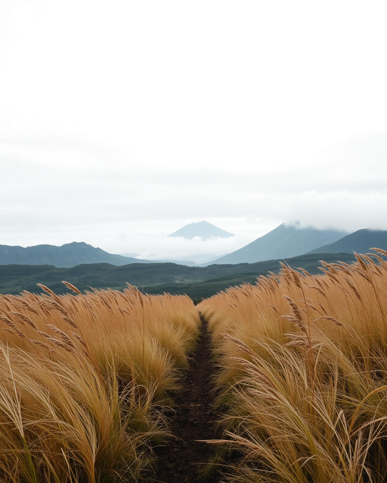
Learning to read the landscape
Long before a storm arrives, the landscape usually tells you it is coming.
6 min read
place · preparation
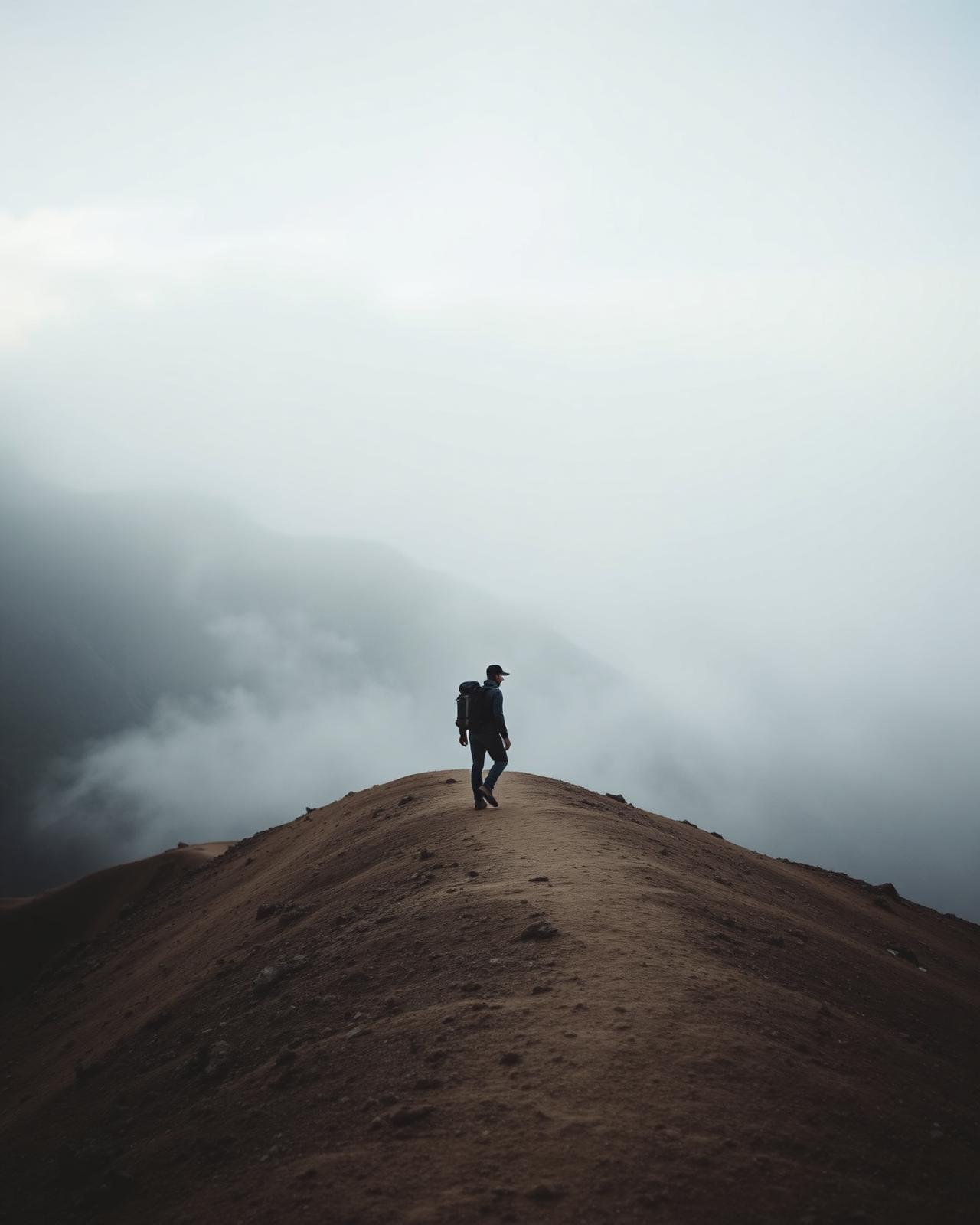
Every route is earned
Maps have a way of hiding reality. Some things can only be discovered by going.
5 min read
preparation
What makes an expedition?
The word is used loosely now. Here is what it still means in this practice.
6 min read